
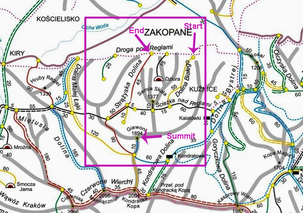
It was August high season and the mountain town of Zakopane (elevation 800-1000m) was characteristically mobbed by vacationing Polish families and stag/hen groupings.
All street and sidewalk space was occupied by aimless tourists, so we were relegated to walking in the gutter. The throng criss-crossed our path, consuming seemingly unlimited amounts of lody (ice cream, generally soft-serve style), gofry (waffles topped with whipped cream and sweetened fruit or other toppings), zapiekanka (basically a Polish rendition of french bread pizza) and excessively meaty mountain fare, chased by excessive drinking and shout-singing until all hours of the night.
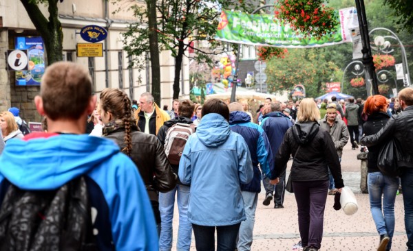
Zakopane town was half carnival, half sprawling family vacation, half zoo. Three halves.
It was half carnival, half sprawling family vacation, half zoo. Three halves.
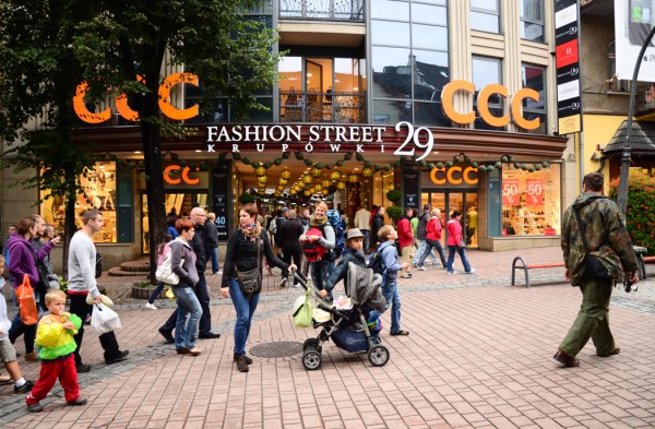
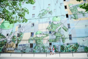
“Fashion Street” on Krupowki – the main drag.
Zakopane is located in south central Poland.
After morning train transit from Warsaw to Kraków followed by a bus to Zakopane, we arrived in the small mountain town in the afternoon of August 9th with no hostel/guesthouse reservations. We inquired at the first lodgings we saw – Top Hostel – a new property directly on the main drag (Krupowki).
The hostel’s running water wasn’t working properly, so every guest in the multiple-dorm, multiple private room establishment had been forced to use the one still-functioning bathroom for the past two days. Not every guest had toughed out the forced austerity measures, and accordingly, Top Hostel had rooms available. No water, but beds.
In fear of battling the high season crowds for lodgings with lavish luxuries like functional plumbing, we booked a clean private room at Top Hostel for around 100 PLN per night. The owner said the plumbing would be up and running by the next day. Thankfully, he was right – we had running water again by that evening – which made this quite a nice, central place to stay.
Food in Zakopane was questionable. Every restaurant seemed to feature the same sort of highlander cuisine as the next – massive portion sizes of meat, cabbage and potatoes, often served by men and women in some sort of period costume. Roving folk bands sang so loudly in close proximity that dinner conversation was often impossible. So we ate in a lot, thanks to our kitchen in the shared apartment. Saving grace.
We did find a favorite place to eat out in Zakopane, though – Pierożek Bar Mleczny, a tiny “milk bar” about a half-block off the main tourist drag serving good żurek, portions of baked chicken and a variety of good pierogies among other menu items.
Pierogies generally come in a standard array of fillings at bar mleczny and other traditional eateries:
- Minced meat
- Sauerkraut and mushroom
- Strawberries or blueberries
- Sweet cottage cheese
Anyway, we didn’t go to Zakopane for the silly tourist town. We came for the picturesque Tatra Mountains!
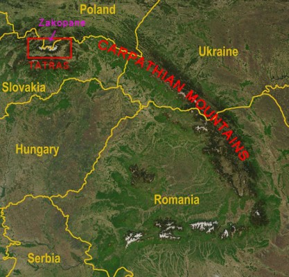
The Carpathian Mountains are the second longest mountain chain in Europe (a 1500 km arc, second in length to the Scandinavian Mountains), stretching between the Czech Republic, Slovakia, Poland, Hungary, Ukraine, Romania and Serbia. The highest portion of the Carpathians is known as the Tatras – a mountain range that forms a natural border between Poland and Slovakia.
Highest Tatra peak in Slovakia, and highest point in Slovakia overall: Gerlach, 2,655 m (8710 ft)
Highest Tatra peak in Poland, and highest point in Poland overall: Rysy, 2,499 m (8200 ft)
Accessing the Polish portion of the Tatras is exceptionally easy from the town of Zakopane – the nearest entrances to the Tatra National Park are as close as a couple of kilometers from the city center (walkable), and the entry fee is 4 PLN (about $1.30 US) per person (add 10-20 PLN if you need to park a car).
Hiking in the Polish Tatras is possible on all trails between June 15 and November 1. After November 1st, some popular trails close to tourists for conservation efforts. However, many trails remain open in the winter season, and the park allows at-your-own-risk cold season hiking. Skiing the Tatras is also possible in the winter.
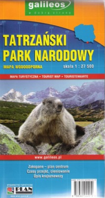
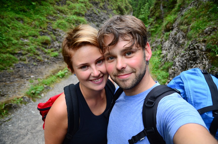
trail map = necessary for hiking
I highly recommend picking up a trail map before you head into Tatra National Park. Hiking without a guide is safe on many of the well-marked and well-maintained trails, but you should plan your route nonetheless. Getting lost or exhausted in the mountains, especially given the fickle nature of the weather and temperature at elevation, can be very dangerous. Purchase maps and ask for hiking advice at the Zakopane tourist information office (near the bus station).
Click HERE for a large, color HMTL map of Tatra National Park.
I also recommend wearing your waterproof hiking boots if you have them along (we didn’t), and that you carry rain gear, extra layers for warmth (it was chilly even in August) and a flashlight or head torch – hiking in the dark is dangerous even on an easy trail. Oh, and bring a decent camera too – you’ll need evidence to support your flowery post-hike descriptions of the vistas and valleys.
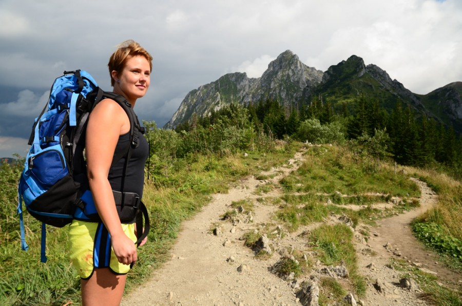
Make sure to pack enough food and water for your hike – we brought sandwiches, fruit and 2-3 liters of water each, which proved more than enough for our long day of hiking. We carried our supplies in one internal-frame backpack, which the two of us traded back and forth during the day.
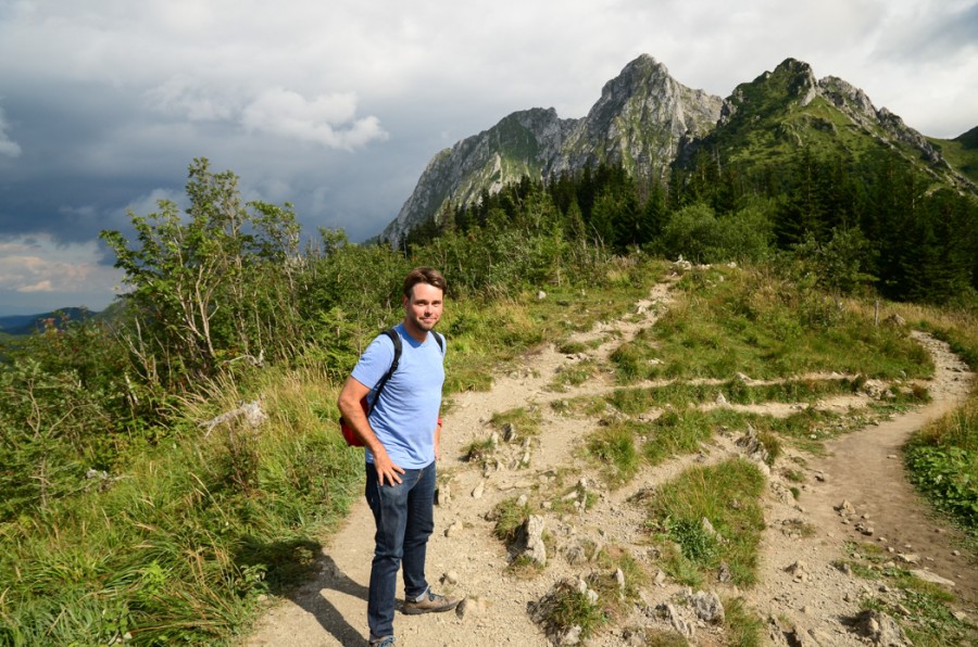
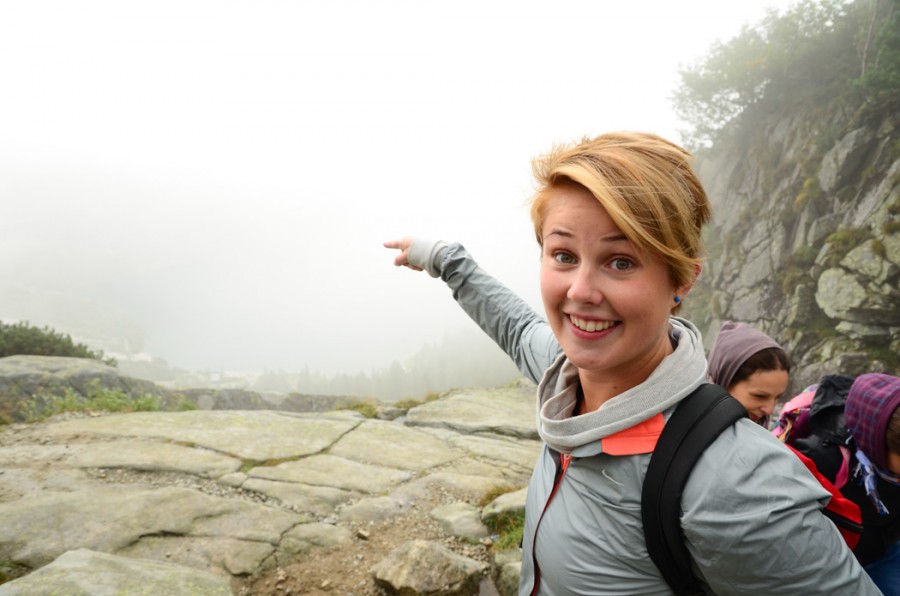
Climbing Giewont
The stated goal for our first day of hiking was to summit Giewont (1895m), a mountain visible from Zakopane that features a 15m steel cross at its summit. The mountain is an important symbol of Zakopane and said to resemble the profile of a giant sleeping knight that will awake/arise when Poland finds itself in dire need.
To begin our hike, we walked from our hostel to the Dolina Bialego entrance of Tatra National Park, paid our entry fee, and proceeded up the well-groomed path.
The ascent to the summit of Giewont takes most people about six hours. Note: Tatra National Park signs and maps generally measure trails by average time, rather than distance.
Our route:
- South from park entrance, up Dolina Bialego
- West, up/down on Ścieżka nad Reglami
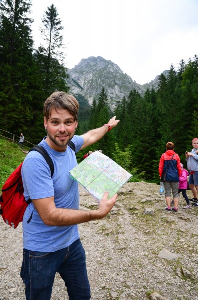
- South, up Dolina Strążyska
- Scramble up some slippery rocks with guide chains to the summit of Giewont
- Summit Giewont (1894 m)
the hike begins on Dolina Bialego.
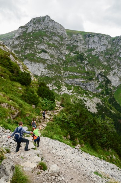
For seasoned adventurers, this is just a long walk with a few scrambles – but those of us that don’t hike frequently at elevation might find this trek a bit more challenging and exhausting.
Also of note: on days with bad weather, I wouldn’t necessarily recommend submitting Giewont for your own safety, unless you really know what you’re doing. Rain can make the rocks near the top quite slippery and thus dangerous, and lightning storms could be life threatening if you’re at the top.
intended destination!
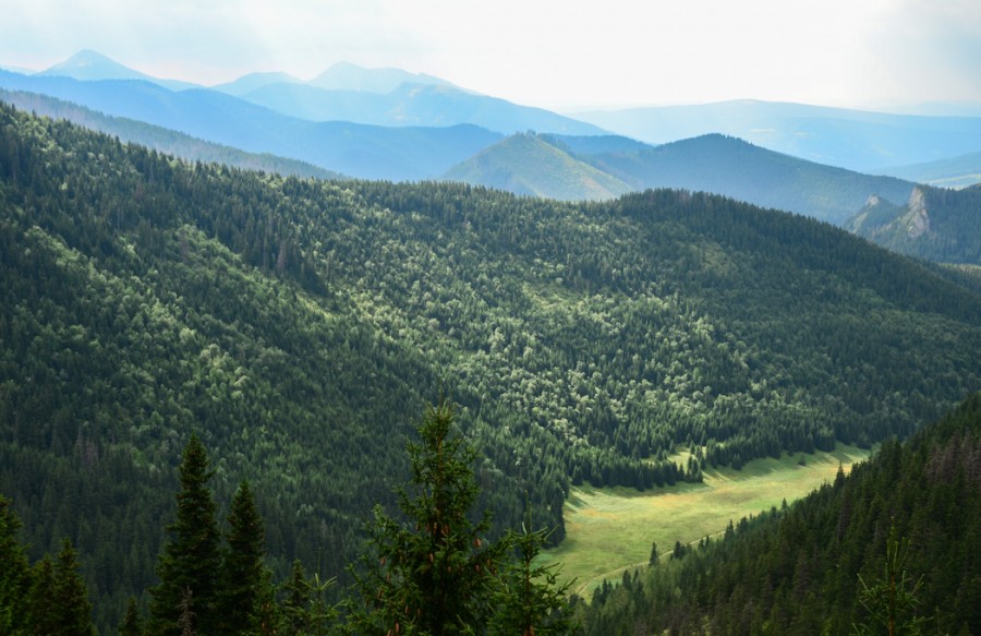
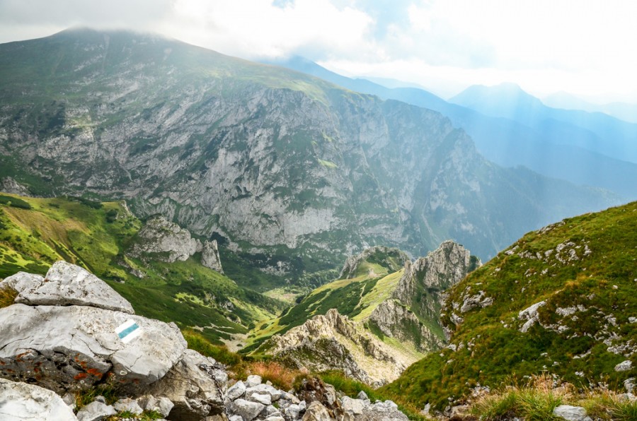
Our first leg, Dolina Bialego, was a lush, green valley hike. Nice, and worth a visit, but no real wow factor. Ścieżka nad Reglami, was a forested path that led us up, then down again. Just more elevation to regain on our way up!
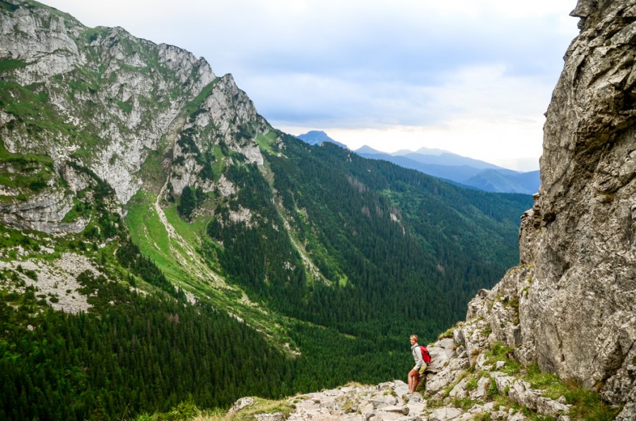
Tree-choked paths gave way to wide scenic views once we found ourselves on Dolina Strążyska. Bonus: after a long period of grey clouds and threats of rain, the sun burned through and raked the mountains ahead and valleys below.
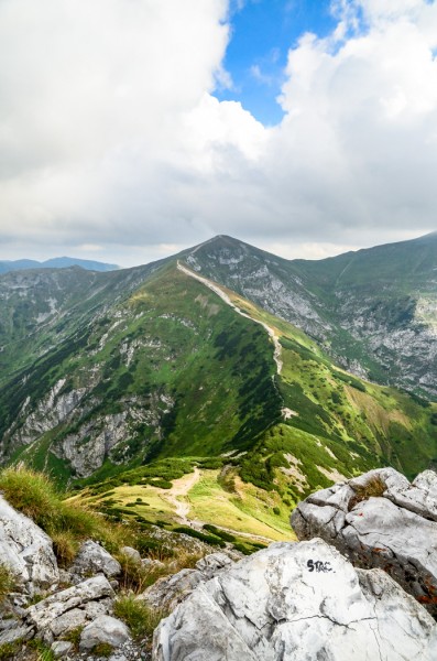
The middle peak is Giewont (Great Giewont to be exact – the mountain has three peaks).
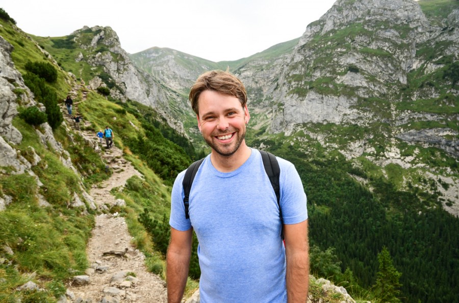
The path up from here was ridiculously pretty and unforgettable. I had no idea southern Poland would be so beautiful.
These were the moments that defined our trip to Zakopane, and were among the fondest of our entire trip to Poland. Our hard work was paying off. I felt alive, joyful, free.
up and up and up.
and down a bit. and then back up some more.
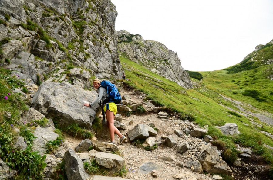
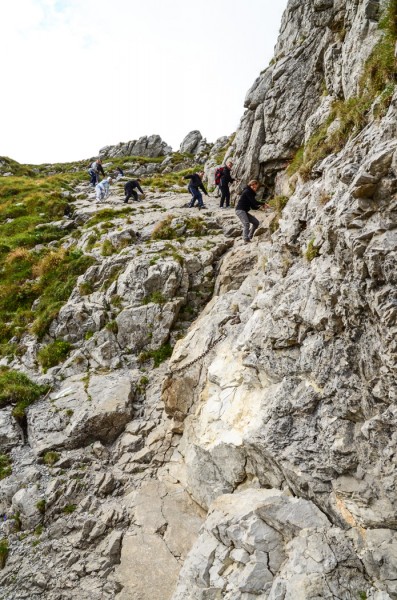
The final ascent required a little more effort than long hike behind us. Near its peak, Giewont is composed of slippery rocks that require a bit of a scramble. Chains have been embedded along the way to mark the way and provide a fail-safe for conservative climbers. Falls could be particularly nasty here.
For rock climbers, this is nothing. For the layperson, it’s a bit scary. Again: in bad weather, I wouldn’t really recommend for either camp.
Some hikers turned back here. We were already fairly tired by this point and even thought about doing the same – but after a break and a snack, we proceeded.
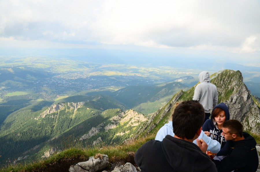
The summit came faster and easier than anticipated. From here, we enjoyed 360-degree views and stomached the weird, unsettling sensation that there was nowhere to go but down. Other hikers ate sandwiches, smoked celebratory cigarettes (don’t do this in parks, people – or at absolute bare minimum, make sure you collect your cigarette butts!) and snapped pictures.
northern view from the summit.
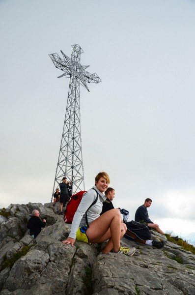
Giewont’s 15m steel cross was affixed to the peak over 100 years ago.
Kopa Kondracka (2005m) as viewed from Giewont.
the way down.
Ten minutes at the top was enough – it was already mid-afternoon by this point, and we needed to get moving if we were to return to Zakopane before dark.
The descent took us four hours (longer than it takes most people – we were tired!). What it entailed:
- A scramble down a separate chain route from Giewont’s summit (the ascent and descent routes are separate)
- Descent of Dolina Strążyska trail
- Exiting Tatra National Park
- Walking a few kilometers north, back into Zakopane
Climbers descend the chains.
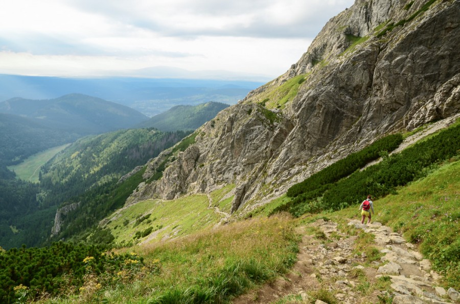
hiking back down.
The sun had set by the time we got to the last portion of Dolina Strążyska. Fortunately, this path is about as easy as they come – wide and well-groomed, built for afternoon strolls, not rigorous hikes. Plus, we had flashlights, which helped. About 30 minutes after dark we found the park exit, from which we lumbered back to Zakopane on aching legs, groaning the entire time.
It rained nonstop the following day (August 11th), so we shrugged off any outdoor plans and took a personal day in the town. Eat and sleep.
Morskie Oko
August 12th, we attacked the mountains again. The weather was still misty and wet, the visibility low. But no matter – after all, weather is to be enjoyed or ignored!
We set off for a big green lake surrounded by mountains: Morskie Oko, “The Eye of the Sea” (elevation 1395m).
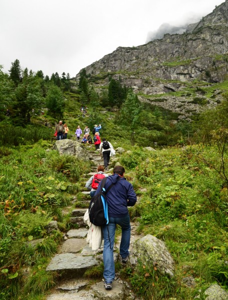
To access Morskie Oko from Zakopane, catch a private bus from near the Zakopane bus station (drivers will call out to tourists – “Morskie Oko?”) for an hour ride to the entrance to Tatra National Park, where a 9 km hike up to the lake awaits you (between two and three hours up).
This is not the best hike in the Tatras. No. The route to Morskie Oko is largely on a paved road transited by horse-drawn carts and endless supplies of tourists with nordic walking sticks. Morskie Oko is a very beautiful place, but it’s not off the beaten path by any measure. Temper your expectations.
If the hike doesn’t enchant you (it probably won’t) or if you have limited time, you can pay for passage on one of the horse-drawn carts – this should set you back something like 40 Polish złoty. We hiked.

hikers on the paved road to Morskie Oko.
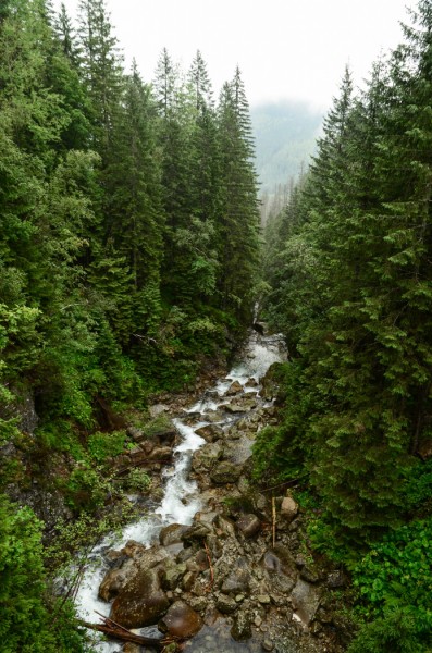
a creek seen on the hike up.
My Ecco shoes decided this was a good time to fail. The sole of my left shoe cracked and allowed the insole to soak up the muck, providing my left extremity with a chilly, spongy, sloshy grind for the whole day. Cool.
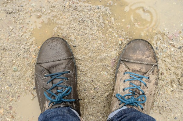
Ecco offers a one-year limited warranty on their shoes. I returned these faulty shoes after my trip and was issued a voucher for a replacement pair of shoes. I’m a happy customer.
We arrived at Morskie Oko damp and cold and ate our picnic lunch of sandwiches and cookies outside the crowded mountain restaurant overlooking the lake. It was cold. Aggressive tourist-fed birds made repeated attacks on our table.
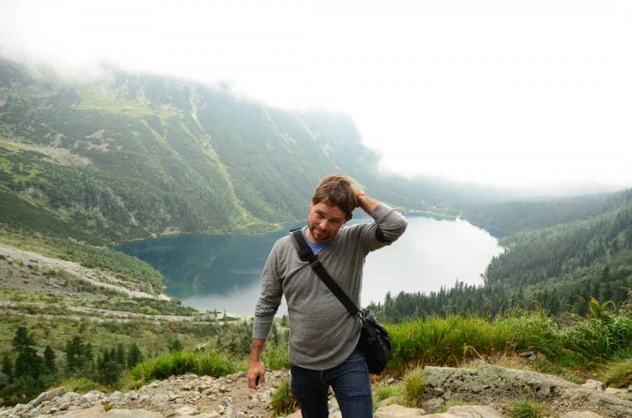
The nasty weather never cleared, so we got a look at the clear green waters of the lake, but not much of the surrounding mountains, which include Rysy (2499m), the highest peak in Poland.
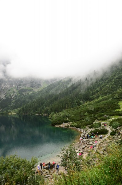
the foggy south-facing view of Morskie Oko from the mountain lodge.
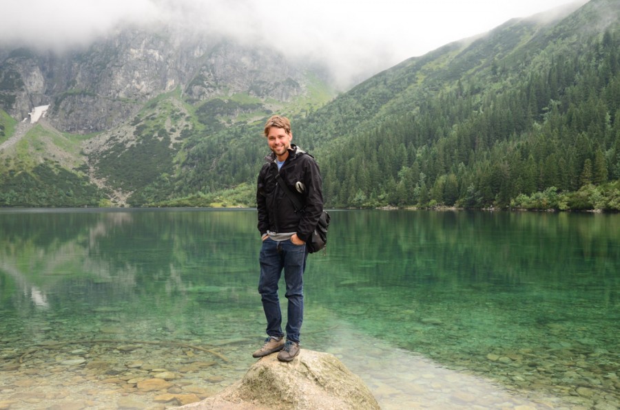
Morskie Oko & me
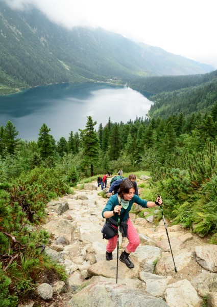
If you’re going to spend the time to get to Morskie Oko (even in bad weather), make sure to at least do the circular hike around the lake (about 35 minutes). Better yet, add the 30 additional minute climb to Czarny Staw (elevation 1583m) , the smaller lake above Morskie Oko, to the south. There, you’ll find an easy vantage point for photos that’ll make your friends jealous, fog or not.
the short but slightly steep hike up to Czarny Staw. You might see Rysy’s peak in the back left if it wasn’t for the fog.
reverse, facing Morskie Oko.

the view of Morskie Oko from Czarny Staw.
Additional fog rolled in quicky and turned our view into a whiteout. Weather changes so quickly in the mountains!
3:08 PM
3:14 PM
Zero visibility meant it was time to go. Nine kilometers of hiking downhill got us back to the park entrance and return transit to Zakopane by bus (look for the buses in the big parking lot).
After return from our rainy Morskie Oko hike, we showered up at the hostel, packed our bags and walked to the small Zakopane bus station for evening transit to Krakow. The ride was about 2.5 hours long, and cost 20 Polish złoty per person.
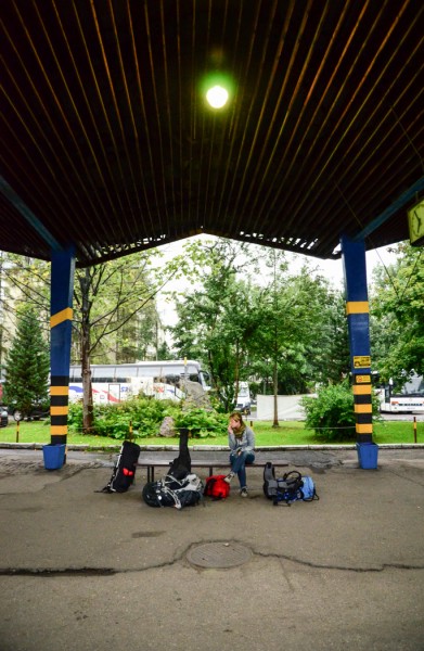
bus station.
The Polish Tatra Mountains were one of the most breathtaking places I visited in 2012, and I can’t wait to find a good excuse to return. Perhaps next time I can explore a bit more of the Slovakian side of the range. It’s an exciting prospect!
We only managed single day hikes on our short trip, but multi-day hikes are also possible in the Tatras via stays at campsites or mountain lodges. For far more info than I’ve provided on outdoor adventures in the Tatras, check out this site.
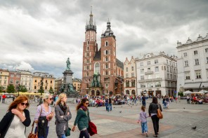
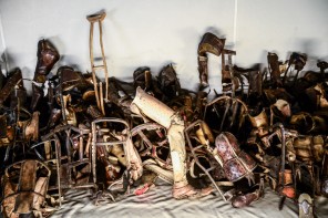
NEXT UP: Kraków and nearby Auschwitz-Birkenau.

cool picture
Thanks Jacek. (And the Tatras are far prettier in real life!)
Thank you
your pictures are great! i have to admit that i don’t really like zakopane, way too many people. i prefer Bieszczady or Karkonosze, they’re great! you should give Bieszczady a try, you’re gonna love it!
I’ll put Bieszczady on my list for next time (which is hope is sooner than later) – thanks much Izabi!
Zakopane can be really overwhelming, Krupowki as well as the popular hiking trails are usually loaded with crowds no matter the season, but it seems like you got a chance to get away and enjoy the crisp mountain air! I grew up skiing and hiking in Zakopane, my family actually runs a small rustic lodge/hotel up there if you ever go back http://www.orla.com.pl/ 😉 Cheers!
I’d really like to get back to Zakopane now that I’ve had a taste! What an enviable childhood, growing up hiking and skiing! I can put up with Krupowki for that 🙂
Thanks for reading!
I would love to see these mountains. So beautiful! Glad you didn’t turn into ladder/chain slime! I remember Mesa Verde! Do you? Great writing and humor, as usual! Keep writing!
Great post, by the way the loud montain people. That is just their accent. They are used to yelling a lot because in the mountains it is not worth walking closer to someone for a quite word. 🙂
Haha. Yep, those mountain dwellers have got some serious pipes! The folk bands in the restaurants on Krupowki seemed to be in competition to see who could drive away the most business. Thanks for reading!